THE IMPACT OF TECHNOLOGY ON PHOTOJOURNALISM

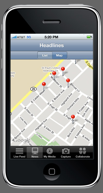
News content is displayed in a spatial format, using the geotagged content. Geo-spatial data is very critical to the site for two reasons; it increases integrity and interest. Users like seeing data plotted on maps and it's very interesting and newsworthy to see where a photo or video was taken, which will draw more use of the content. Having the data with spatial tags also increases the integrity of the data because it can be shown exactly where the content was created.